| VPS.sensi in VPS.system
|
|
| Operational Data for Pollution Response |
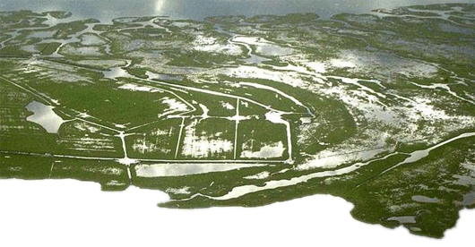
The operational results of the evaluation model were
developed in digital maps and integrated into the existing
software VPS.system.
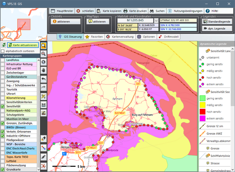
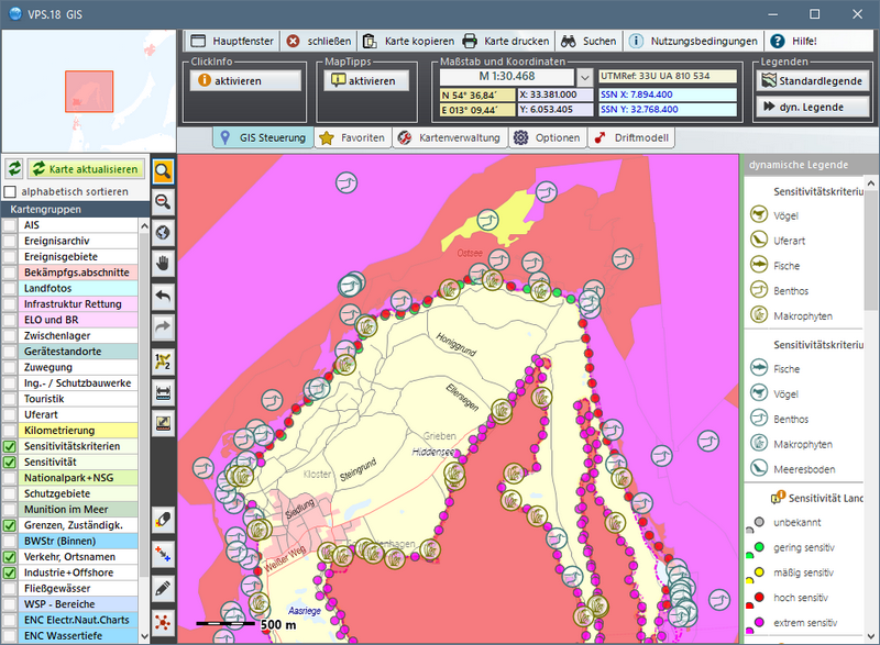
Each category of sensitivity has its own colour: magenta -
extremely sensitive, red - highly sensitive, yellow - moderately
sensitive and green - slightly sensitive.
The determined sensitivities are shown both for the coastline (line
signature) and for the off-shore areas (area signature). The
illustrations are depicted in the four seasons.
|
|
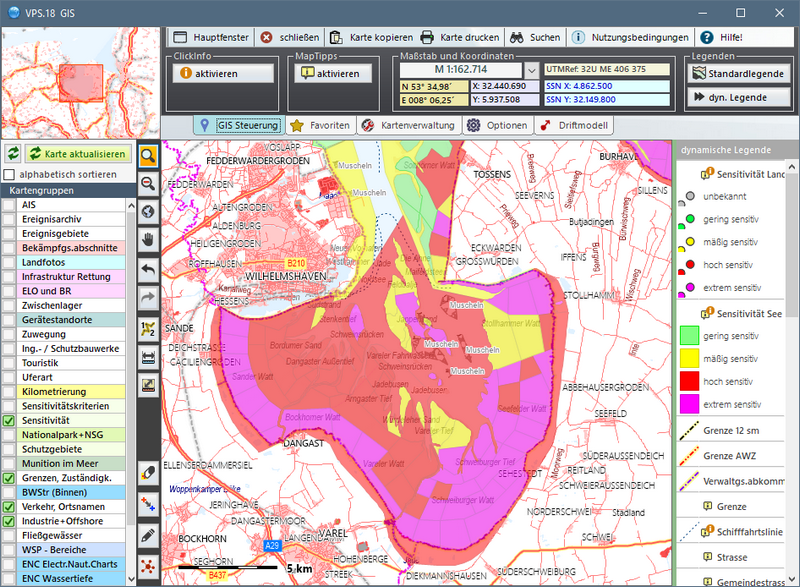 |
This information is important for prioritisation of response
measures, as well as for protection measures.
The deciding criterion for categorisation into one of the
sensitivity categories is shown as a symbol on the respective
line or in the respective area.
|
|
| The VPS.sensi Module |
 |
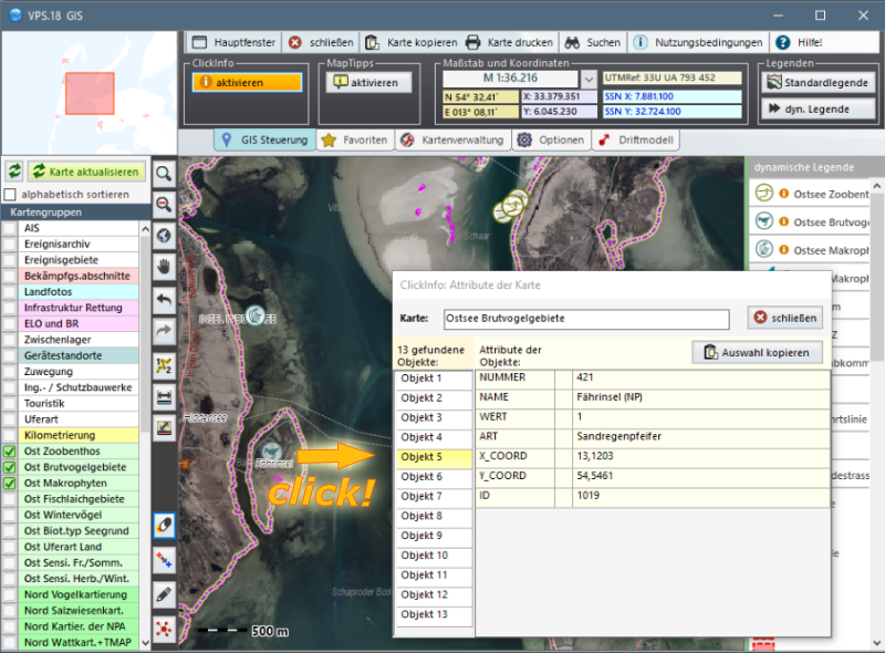
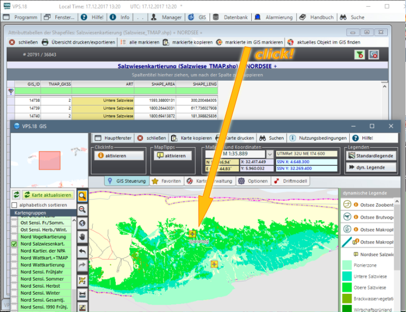
In order to enable access for a wide usergroup to the large
amount of raw data and the detailed valuation process that
formed the basis of the sensitivity computation, an additional
VPS module - VPS.sensi, was developed.
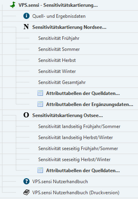
To avoid complication and data overflow of the VPS.system
software, VPS.sensi is designed as a software module to dock at
the VPS,system. The illustration beside shows the menu tree of
the VPS.sensi module.
Of course, all VPS technologies such as ClickInfo, MapTipps, and
database-GIS links are available in VPS.sensi.
An additional function enables the user to mark more than one
VPS.sensi database object in the GIS.
|
 |
| |
 |
| |
|
| |
|